
")


Serra da Gardunha
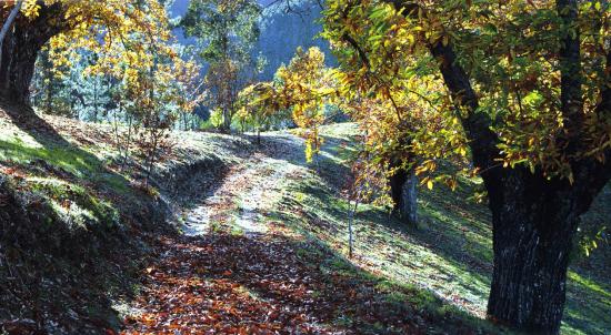
Serra Gardunha presents over twenty kilometers, occupying about ten kilometers wide and reaching a maximum altitude of 1227 meters, stealing some of the attention of Beira Baixa.

An area with a strong human intervention, it continues to retain its great potential in particular oak Quercus pyrenaica and Quercus Robur, the Asphodelus bento-rainhae, an endemic plant of this mountain, which through the conservation of these also preserves the lizard life -of-water (Lacerta schreiberi).
Serra da Gardunha houses the Geopark Naturtejo Meseta Meridional, born of a common mind sharing a natural well, it extends along Castelo Branco, Idanha-a-Nova, Nisa, Oleiros, Penamacor, Proença-a-Nova e Vila Velha de Ródão. Being a territory that attracts thousands of people, the Geopark Naturtejo contains various tourist products aimed at the satisfaction of visitors, highlighting the footpaths.

- Route Gardunha – with a distance of 17.5 km.
- Schist way Sarzedas – In Wells Miners – 15 km.
- Fossils Trail – a route with 3 Km-
Route Barrocais – with 7 km. - Route Erges GeoRota Dew – with a distance of 9 km.
- The Secrets of Mourao Valley – 6.5 km.
- Route of Conheiras – a route with 10.6 km.
- Travel by Earth Bones – the largest route 18 km.
- Rails Conhal – 9.8 km.
- Geology and Archaeology Urban – 8 km.

